Pasayten Rim Roadless Area
Index to the other Roadless areas in the Western Okanogan National Forest
Selected campfire stories from this area from Lost and Forgotten - A Trail Guide to Roadless Area Hikes and Vistas in Western Okanogan County
Pasayten Rim, RA 243 west part
The Upper Chewuch Roadless area (also referred to as "Pasayten Rim") is a diverse area that borders the Pasayten Wilderness between the end of the Chewuch River road near Thirtymile Corrals, vicariously west over more than 50 miles to Hart's Pass, with the widest part in Farewell Creek and the narrowest a sliver above Andrews Creek. In between, there are dozens of mountains that guard the Pasayten Wilderness.
In traversing the Upper Chewuch Roadless Area, the flora spans the range from drought-tolerant to wet-loving. Only on the west end can one find mountain hemlock (Tsuga mertensiana), Sitka willow (Salix sitchensis), Alaska yellow cedar (Chamaecyparis nootkatensis) and western redcedar (Thuja plicata), whereas only on the eastern end can one find inky gentian (Gentiana glauca), Farr willow (Salix farriae), and snow lichen (Cetraria nivalis). The reasons for this are somewhat conjectural, but seem to be a reinforcing combination of soil types, precipitation, glacial history, fire history and climate.
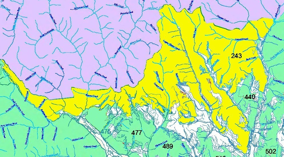
Roadless Area Map of this area (data from
Pacific Biodiversity Institute).